SKU: SENS-1461
📋 GST Invoice Available

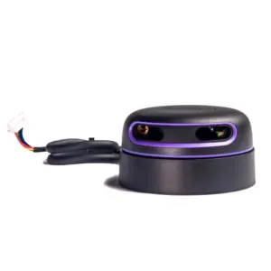
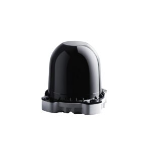
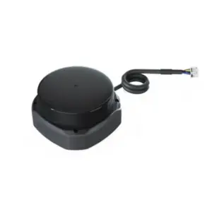
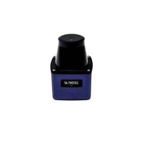
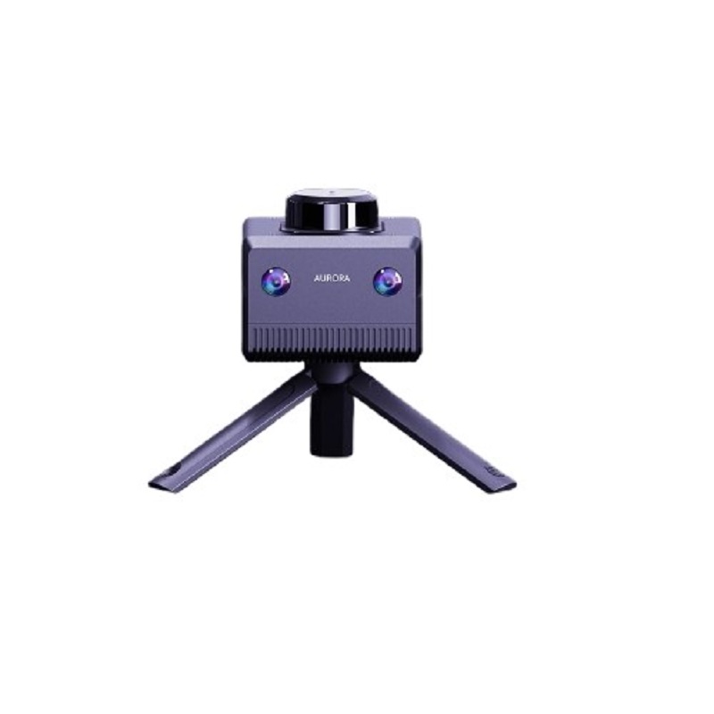
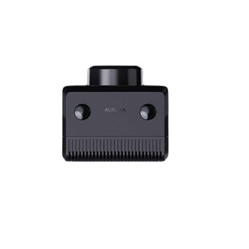
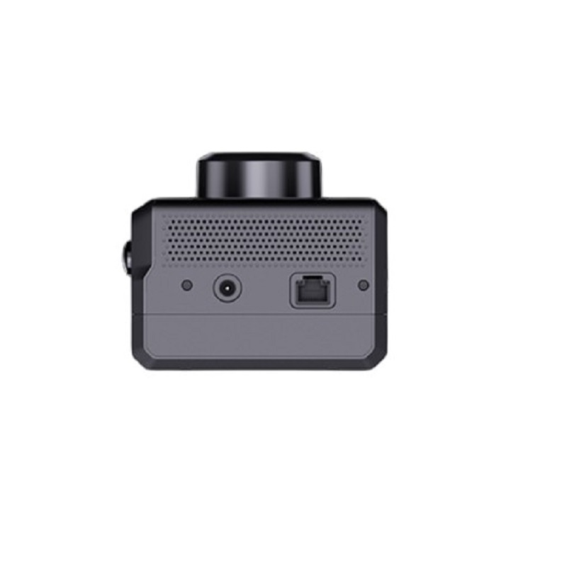
Slamtec AURORA High-Precision 3D Mapping 6DOF IMU Range 40m

₹142,799.00 (Inclusive of all taxes)
Out of Stock

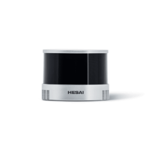
The Slamtec AURORA is a high-precision, all-in-one 3D mapping and 6DOF positioning sensor module, integrating LiDAR, vision, and an advanced IMU. It provides centimeter-level resolution and a 40m detection range for autonomous navigation in drones, robotics, and AR/VR systems, operating independently both indoors and outdoors.

Features

  • High-precision 3D mapping with ~1 cm resolution and 40-meter detection range.
  • Integrated 6 Degrees of Freedom (6DOF) Inertial Measurement Unit (IMU) for stable spatial positioning.
  • Deep learning-enhanced SLAM algorithm for robust performance in dynamic, high-speed, or dark environments.
  • Compact, standalone sensor (108 x 97 mm) delivering synchronized 2D high-precision map output.
  • Designed for embodied intelligence, supporting large-scale mapping up to 1,000,000 m² coverage.

Out of stock

Description

The Slamtec AURORA is a sophisticated sensor fusion module designed for high-precision Simultaneous Localization and Mapping (SLAM). It combines a LiDAR scanner, vision sensors, and a high-performance 6DOF IMU into a single, compact unit. This integration, enhanced by deep neural networks, provides reliable 3D mapping and six-degree-of-freedom positioning without external dependencies, making it ready for immediate deployment upon power-up.

Engineered for challenging environments, the AURORA maintains stable operation during high-speed motion and in low-light or dark conditions. Its onboard processing outputs synchronized high-precision 2D laser grid maps, facilitating the migration of existing navigation algorithms into full 3D environments. The module’s robust performance across a massive 1,000,000 m² coverage area makes it ideal for complex, large-scale autonomous applications.

Key Features

  • AI-Enhanced SLAM: Integrates deep learning neural networks for superior performance beyond traditional SLAM systems in complex scenarios.
  • Complete 3D 6DOF Positioning: Provides full spatial awareness (position and orientation) with no external system requirements.
  • Large-Scale Environmental Handling: Capable of mapping extensive areas (up to 1,000,000 m²), performing reliably both indoors and outdoors.
  • High-Speed & Low-Light Robustness: Deep learning support ensures stable mapping and positioning even during rapid movement or in darkness.
  • Synchronized 2D Map Output: Onboard LiDAR concurrently generates high-precision 2D top-down grid maps for algorithm compatibility.
  • Compact and Integration-Ready Design: Sleek, minimal footprint (108 x 97 mm) allows for easy integration into various robotic and autonomous platforms.
  • High-Resolution Sensing: Delivers approximately 1 cm resolution over its 40-meter detection range with a 180° field of view.

Applications

  • Autonomous Mobile Robots (AMRs) and Humanoid Robots: For real-time path planning, obstacle avoidance, and precise position tracking in unstructured environments.
  • Aerial Drones and UAVs: Enhances navigation accuracy, stability, and mission capability for surveying, inspection, and delivery applications.
  • Indoor Mapping & Facility Management: Creates high-accuracy 3D models of buildings, factories, and warehouses without GPS signal.
  • Augmented Reality (AR) & Virtual Reality (VR) Systems: Provides accurate spatial tracking and environmental mapping for immersive interactive experiences.
  • Embodied Intelligence Platforms: Serves as the core perception module for multi-legged robots, autonomous vehicles, and smart machinery operating in complex terrains.

Technical Specifications

ModelSlamtec AURORA
Primary Function3D Mapping & 6DOF Positioning
Sensing TechnologyLiDAR, Vision, IMU Sensor Fusion
Detection Range40 meters
Mapping Resolution~1 cm
Coverage Range1,000,000 m²
Field of View (FOV)180°
Degrees of Freedom (DOF)6DOF
Dimensions (L x W)108 mm x 97 mm
Weight505 g
ColorBlack

Frequently Asked Questions

What is the primary output of the Slamtec AURORA sensor?

The AURORA outputs high-precision 3D point cloud maps and full six-degree-of-freedom (6DOF) pose data (position and orientation). It also provides synchronized 2D high-precision laser grid maps from its onboard LiDAR, facilitating integration with existing 2D navigation algorithms. The data is typically streamed via standard communication interfaces for real-time processing by your host system.

Can the AURORA operate without GPS or external references?

Yes, the Slamtec AURORA is designed as a standalone sensor. It uses its integrated LiDAR, vision sensors, and IMU to perform Simultaneous Localization and Mapping (SLAM) entirely independently. This makes it ideal for indoor environments, dense urban areas, or any situation where GPS signals are unavailable, unreliable, or insufficiently precise.

What are the integration requirements for the AURORA module?

Integration requires providing the specified operating voltage via its power connector and establishing a data communication link, such as Ethernet or USB-C, to your host controller (e.g., an onboard computer like an NVIDIA Jetson or Raspberry Pi). The compact form factor and pre-configured software stack allow for relatively straightforward mechanical and electrical integration into robotic platforms or mapping systems.

How does the deep learning enhancement improve performance compared to traditional SLAM?

The integrated deep neural networks enhance the system's ability to understand and interpret complex scenes. This leads to improved robustness in challenging conditions such as repetitive textures, dynamic environments (moving people/objects), low-light or darkness, and during high-speed motion. It reduces drift and increases mapping accuracy where traditional geometric SLAM algorithms might fail.

Package Includes

  • 1 x Slamtec AURORA High-Precision 3D Mapping 6DOF IMU Module

Additional Information

Weight 0.505 kg
Dimensions 10.8 × 9.7 cm