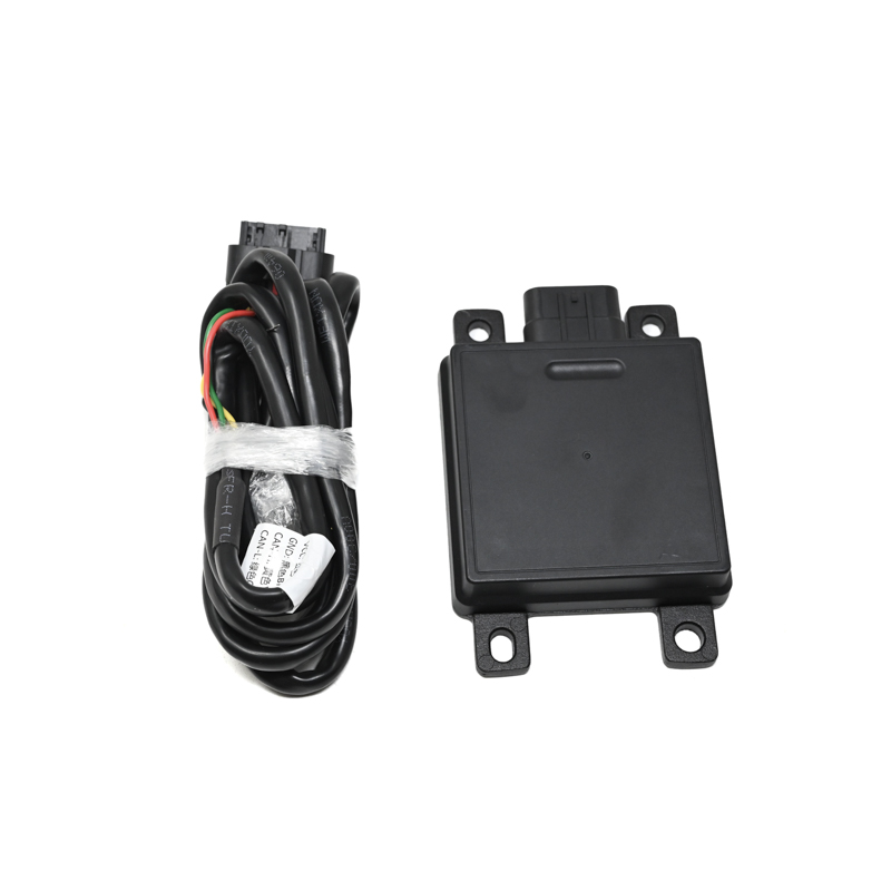
SKU: SENS-2481
📋 GST Invoice Available

NanoRadar SR75 77GHz MMW 4D High Resolution Imaging Radar - 150° FOV, 40m Range, CAN-FD

₹52,739.00 (Inclusive of all taxes)
Out of Stock

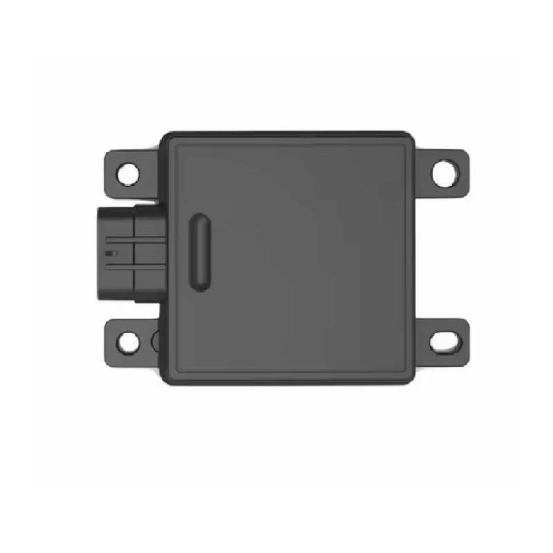
The NanoRadar SR75 is a 77GHz millimeter-wave imaging radar module delivering high-resolution 4D point cloud data for advanced environmental perception. Featuring a CAN-FD interface, it is engineered for integration into low-speed autonomous vehicles, mobile robots, and industrial safety systems requiring precise obstacle detection and classification.

Features

  • 77GHz millimeter-wave radar with 4D (range, speed, azimuth, elevation) high-resolution imaging.
  • Long-range detection up to 40 meters with a wide 150° horizontal field of view.
  • Generates dense 1500-point cloud per frame for detailed target contour and motion state analysis.
  • Robust IP67-rated enclosure for reliable operation in demanding outdoor and industrial environments.
  • Integrated CAN-FD communication interface for seamless integration with vehicle and robotic control systems.

Out of stock

Description

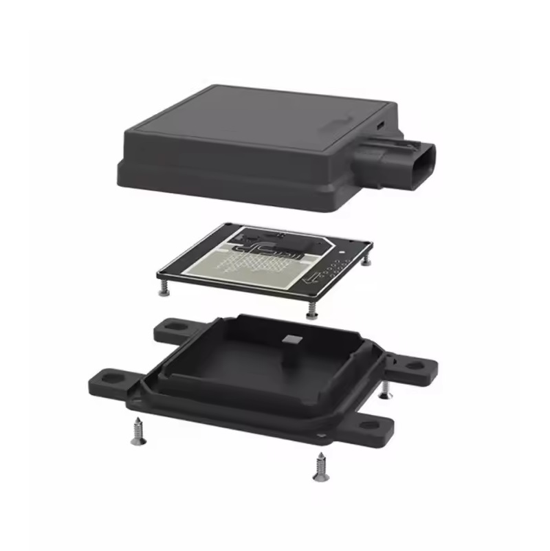
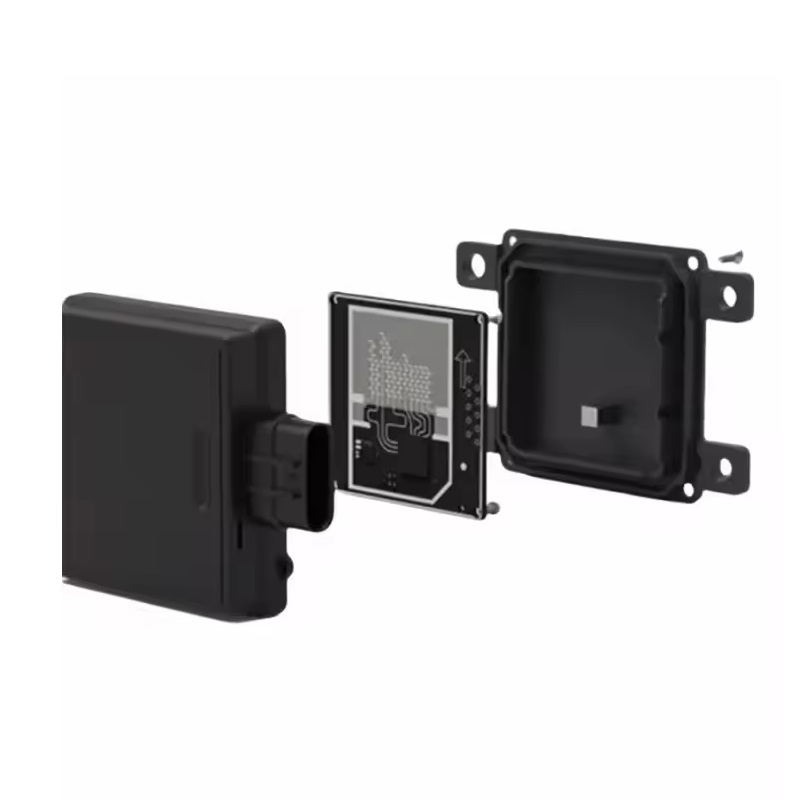
The SR75 imaging radar leverages advanced 77GHz MMIC technology and a proprietary antenna array to capture detailed spatial data, including target height information. This enables the sensor to not only detect obstacles but also classify them based on their轮廓 and dynamic behavior within a comprehensive 4D point cloud. The module’s high data resolution supports sophisticated perception algorithms for autonomous navigation and collision avoidance.

Designed for durability, the compact, IP67-protected housing ensures reliable performance in varied weather conditions, from rain to dust. Its CAN-FD interface provides a high-bandwidth, noise-immune communication link, making it ideal for direct integration into the electronic architecture of unmanned sweepers, mining vehicles, AGVs, and training vehicles where real-time, reliable environmental mapping is critical.

Key Features

  • 77GHz operating frequency band for precise velocity measurement and fine spatial resolution.
  • Advanced 4D point cloud imaging with 1500 points per frame captures target轮廓, category, and motion vectors.
  • Extended detection capability of up to 40 meters with a broad 150° azimuth coverage.
  • IP67 ingress protection rating ensures resilience against water and dust ingress in harsh operational settings.
  • Compact form factor (105.2 x 72 x 19.5 mm) facilitates flexible mounting on vehicles and robotic platforms.
  • Integrated CAN-FD (Controller Area Network Flexible Data-Rate) interface supports high-speed data exchange with vehicle ECUs.
  • Capable of detecting and analyzing target altitude (elevation) data for enhanced 3D environmental perception.

Applications

  • Forward and reverse collision prevention for low-speed autonomous vehicles (e.g., street sweepers, mining carts).
  • Environmental perception and dynamic obstacle avoidance for mobile service and logistics robots.
  • Safety assistance and blind-spot monitoring in driver training vehicles and special-purpose industrial trucks.
  • Perimeter security and intrusion detection systems requiring all-weather, long-range sensing.
  • High-resolution mapping and situational awareness for AGVs (Automated Guided Vehicles) in complex environments.

Technical Specifications

Model NumberSR75
Operating Frequency77 GHz
Detection RangeUp to 40 meters
Field of View (Horizontal)150°
Point Cloud Density1500 points/frame
Output Data4D (Distance, Speed, Azimuth, Elevation) Point Cloud
Communication InterfaceCAN-FD
Protection RatingIP67
Dimensions (L x W x H)105.2 x 72 x 19.5 mm
Shipping Weight0.18 kg
Shipping Dimensions15 x 14 x 3 cm

Frequently Asked Questions

What is the primary communication interface of the NanoRadar SR75, and what are its advantages?

The SR75 utilizes a CAN-FD (Controller Area Network Flexible Data-Rate) interface. This provides a robust, noise-immune, and deterministic communication channel ideal for automotive and industrial environments. CAN-FD offers higher bandwidth than standard CAN, enabling the efficient transmission of the dense 1500-point cloud data per frame to a vehicle's central ECU or robotic controller with minimal latency.

What does '4D imaging' mean in the context of this radar?

4D imaging for the SR75 refers to its ability to generate point cloud data in four dimensions: distance (range), radial velocity (Doppler speed), horizontal angle (azimuth), and vertical angle (elevation). This allows the sensor to not only locate an object in 3D space but also measure its speed and discern its height profile, enabling advanced target classification and trajectory prediction.

What types of environments is the IP67 rating on the SR75 suitable for?

The IP67 rating indicates the SR75 is dust-tight (6) and can withstand immersion in water up to 1 meter deep for 30 minutes (7). This makes it suitable for deployment in harsh outdoor conditions, including on road-going vehicles exposed to rain, snow, and road spray, as well as in dusty industrial settings like mining or construction sites, ensuring reliable long-term operation.

Can the SR75 distinguish between different types of obstacles, like a person versus a pole?

Yes, the high-resolution 1500-point cloud per frame provides detailed contour and spatial distribution data of targets. By analyzing this point cloud data—specifically the shape, size, and motion patterns—algorithms can classify objects into categories such as vehicles, pedestrians, cyclists, or static poles. The inclusion of elevation (height) data significantly enhances this classification capability.

Package Includes

  • 1 x NanoRadar SR75 77GHz 4D Imaging Radar Module

Additional Information

Weight 0.18 kg
Dimensions 10.52 × 7.2 × 1.95 cm