SKU: SENS-1473
📋 GST Invoice Available

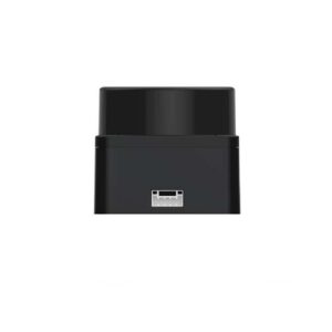
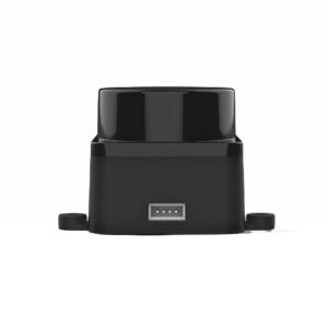
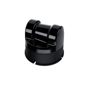
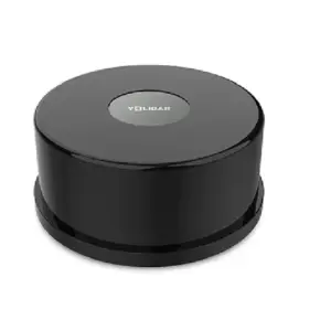
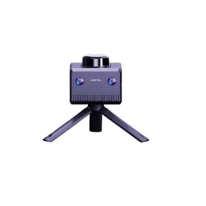
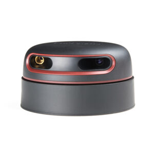
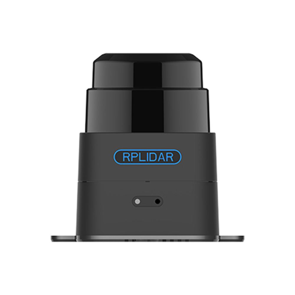
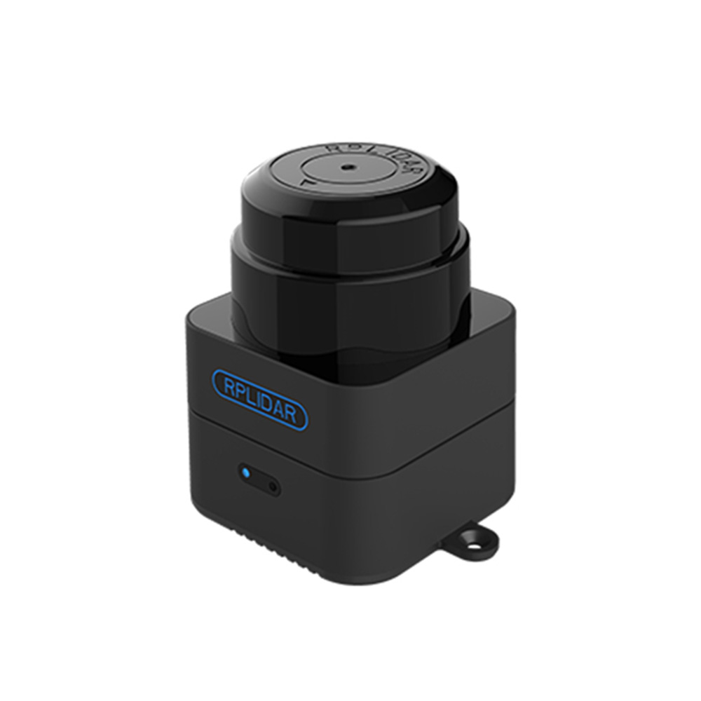
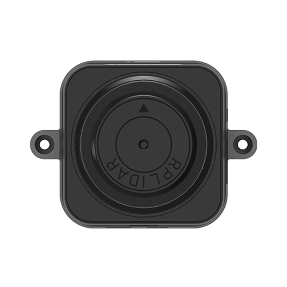
Slamtec M2M2 Advanced Lidar Mapper for Robot Localization & Navigation, Environment Mapping (Range: 40m)

₹48,299.00 (Inclusive of all taxes)
Out of Stock

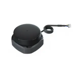
The Slamtec M2M2 is an advanced 2D LiDAR mapping module designed for high-performance robot localization, navigation, and environment mapping. It integrates a third-generation SLAM engine and a 40m range laser sensor, offering plug-and-play operation with full ROS compatibility for robotics and autonomous system development.

Features

  • 40-meter laser scanning range for large-scale environment mapping.
  • Integrated high-performance SLAM engine for real-time localization and mapping.
  • Standalone operation with 10Hz refresh rate and 360° angular resolution.
  • Class 1 laser safety standard for indoor and outdoor applications.
  • Fully compatible with ROS (Robot Operating System) for robotics development.

Out of stock

Description

The Slamtec M2M2 Advanced Lidar Mapper is a self-contained 2D laser scanning solution that combines Slamtec’s proprietary SLAM (Simultaneous Localization and Mapping) algorithms with a high-performance LiDAR sensor. It functions as both a mapping device and a laser rangefinder, generating precise point-cloud data for environmental reconstruction without requiring external computational tools.

Engineered for robustness, the module features tilting compensation and fast-moving target handling, making it suitable for dynamic robotic platforms operating in complex indoor and outdoor environments. Its plug-and-play design allows for immediate deployment upon power-up, streamlining integration into autonomous navigation systems, AGVs, and handheld measurement devices.

Key Features

  • Third-generation SLAM engine for accurate real-time localization and mapping.
  • 40m effective measurement range supporting mapping areas up to 300m x 300m.
  • 10Hz data refresh rate with full 360° angular resolution for detailed environmental scans.
  • Class 1 laser safety classification ensures safe operation in populated areas.
  • Tilting compensation algorithm maintains mapping accuracy on uneven or moving platforms.
  • Standalone operation requires no external PC or tools for core mapping functions.
  • Full ROS (Robot Operating System) compatibility for seamless robotics integration.
  • Durable construction optimized for performance in both indoor and outdoor conditions.

Applications

  • Autonomous mobile robot (AMR) and AGV localization and navigation.
  • Indoor environment mapping for service robots and robotic vacuums.
  • Outdoor terrain mapping for unmanned ground vehicles (UGVs).
  • Handheld 2D scanning and measurement for facility management.
  • Research and development platform for SLAM algorithms and robotics.

Technical Specifications

Manufacturer / BrandSlamtec
ModelM2M2
Measurement Range40 m
Mapping Area300 m x 300 m
Refresh Frequency10 Hz
Angular Resolution360 °
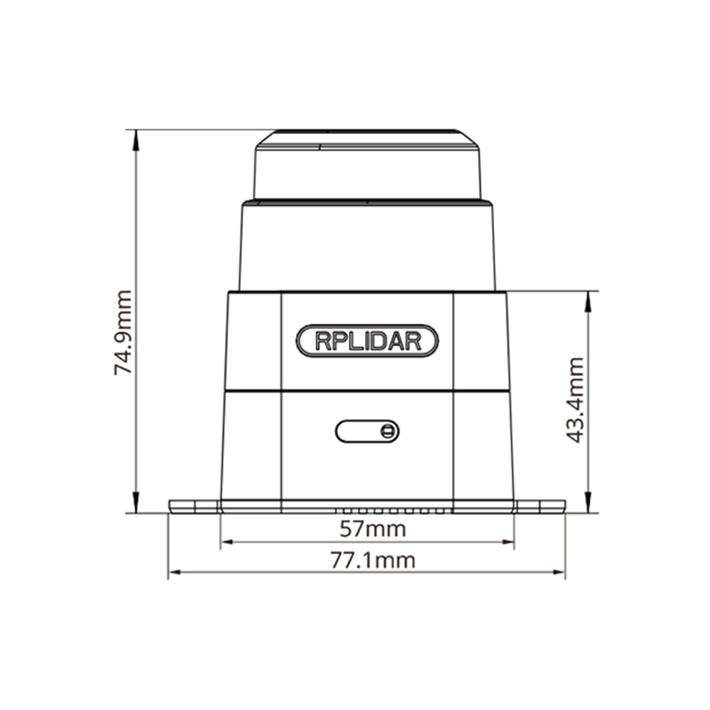
LIDAR Dimensions (RPLIDAR)77.1 mm × 74.9 mm
Laser Safety ClassClass 1
Primary FunctionSimultaneous Localization and Mapping (SLAM)
Output InterfaceUSB / Serial (Typical for ROS integration)
Operating VoltageTypical 5V DC (via USB)
CompatibilityROS (Robot Operating System)

Frequently Asked Questions

What is the primary function of the Slamtec M2M2 module?

The Slamtec M2M2 is a standalone 2D LiDAR module designed for Simultaneous Localization and Mapping (SLAM). It combines a 40m range laser scanner with an integrated SLAM engine to provide real-time position tracking and environment map creation for autonomous robots and vehicles without requiring an external computer for core processing.

What communication interface does the M2M2 use, and is it compatible with ROS?

The M2M2 typically communicates via a USB or serial (UART) interface, providing point-cloud data and pose estimates. It is fully compatible with the Robot Operating System (ROS), with supported drivers and packages available for seamless integration into robotic navigation stacks and development environments.

Can the M2M2 LiDAR mapper be used outdoors?

Yes, the M2M2 is designed to work well in both indoor and outdoor environments. Its 40m measurement range and tilting compensation algorithms help maintain accuracy on uneven terrain. The module uses a Class 1 laser, which is eye-safe, making it suitable for use in varied lighting conditions and populated areas.

What is the mapping area and refresh rate of this LiDAR?

The M2M2 supports a maximum mapping area of 300 meters by 300 meters. It operates at a refresh frequency of 10Hz, meaning it completes a full 360-degree scan ten times per second, providing timely data for dynamic path planning and obstacle avoidance in robotic applications.

Package Includes

  • 1 x Slamtec M2M2 Advanced Lidar Mapper

Additional Information

Weight 0.3 kg
Dimensions 18 × 11 × 11 cm