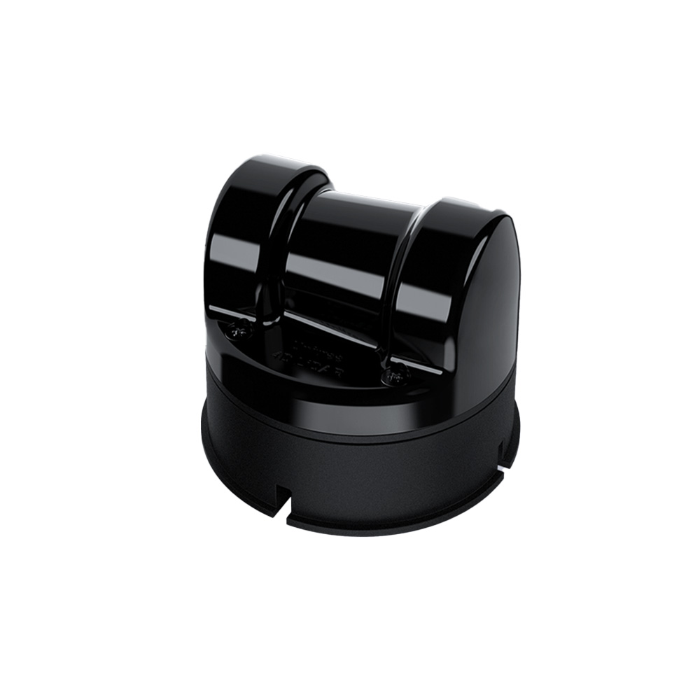
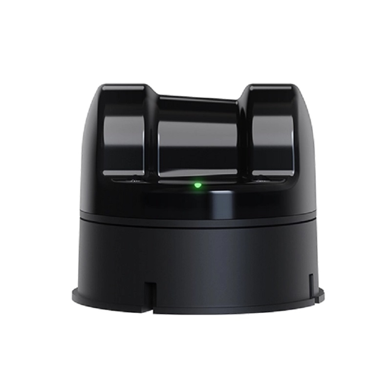
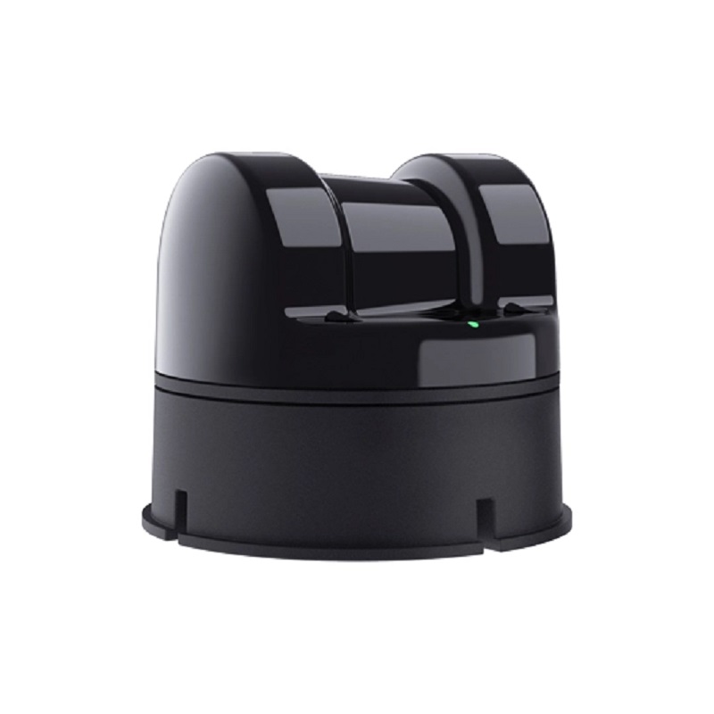
Unitree Robotics 4D LiDAR L2 - 360°×96° FOV, 30m Range, 64k Points/s, 3-Axis IMU
The Unitree Robotics 4D LiDAR L2 is a high-performance Time-of-Flight (ToF) laser scanning module featuring a 360°×96° ultra-wide field of view and a 30m detection range. It integrates a 3-axis accelerometer and gyroscope (IMU) for enhanced spatial awareness, making it ideal for advanced mobile robotics, SLAM, and 3D mapping applications with Arduino, Raspberry Pi, and industrial control systems.
Features
- Ultra-wide 360° horizontal × 96° vertical field of view for comprehensive environmental scanning.
- Delivers up to 64,000 effective points per second for high-density, photograph-level point clouds.
- 30-meter maximum detection range with a near-blind-spot distance as close as 0.05 meters.
- Integrated 3-axis accelerometer and 3-axis gyroscope (IMU) for 6-axis motion data fusion.
- Compact and lightweight design (75×75×65 mm, ~230g) with low CPU consumption for efficient integration.
Out of stock
The Unitree Robotics 4D LiDAR L2 employs advanced Laser Time-of-Flight (ToF) technology with non-repetitive scanning patterns to generate dense, high-fidelity 3D point clouds. Its wide 96° vertical field of view minimizes blind zones, providing superior coverage for complex navigation and mapping tasks in both indoor and outdoor environments.
This sensor module is engineered for demanding robotic applications, offering precise distance measurement and dynamic environmental perception. The integrated IMU provides real-time 6-axis motion data, enhancing positioning accuracy and stability for autonomous platforms, SLAM algorithms, and 3D reconstruction projects.
Additional Information
| Weight | 0.23 kg |
|---|---|
| Dimensions | 7.5 × 7.5 × 6.5 cm |