CubePilot Here4 Multiband RTK GNSS Module
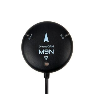
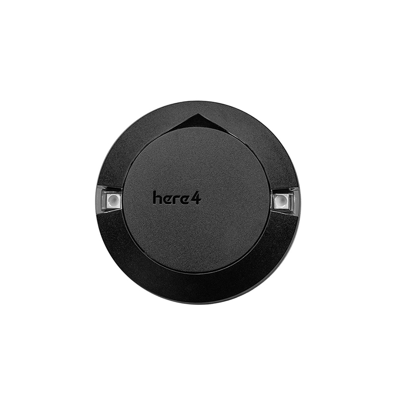
The CubePilot Here4 is a professional multiband RTK GNSS module, featuring the u-blox F9P receiver and a powerful STM32H757 processor for centimeter-level positioning accuracy. Designed for advanced UAV applications, it provides reliable, high-precision navigation crucial for mapping, surveying, and autonomous flight operations.
Features
- Equipped with u-blox F9P for professional high-precision dual-band RTK navigation.
- Integrated STM32H757 processor provides robust real-time data processing and optimization.
- Achieves centimeter-level positioning accuracy with fast RTK Fix convergence via multi-frequency DGNSS signals.
- Features DroneCAN 8Mbit/s for high-speed, reliable communication with flight controllers.
- Offers integrated flight control capabilities with 8 PWM/BDSHOT outputs and camera trigger.
Out of stock
The CubePilot Here4 represents a significant advancement in UAV navigation, integrating a professional dual-band RTK GNSS module with robust processing capabilities. Utilizing the u-blox F9P, it supports multiple GNSS constellations including BeiDou, Galileo, GLONASS, GPS, and QZSS. This multi-frequency DGNSS signal processing, combined with advanced algorithms, enables the Here4 to achieve a rapid RTK Fix, consistently delivering centimeter-level positioning accuracy essential for demanding commercial and industrial drone applications.
Beyond its core GNSS functionality, the Here4 is engineered as a comprehensive flight control and navigation solution. Powered by a built-in STM32H757 chip, it provides real-time data optimization and runs Unmanned Industry standard AP_Periph Firmware. The module includes an IMU sensor (ICM42688+RM3100) and a barometer (MS5611), paving the way for future tightly coupled DGNSS-INS-fusing solutions. Its DroneCAN 8Mbit/s communication protocol ensures high-speed, reliable data transmission.
Designed for versatility, the Here4 integrates practical features for aerial operations, including 8 PWM or BDSHOT outputs, an RCIN for radio input, a Hotshoe, and a camera trigger. This makes it a self-contained solution for precise mapping, surveying, and controlled flight tasks, offering unparalleled accuracy and control for a wide range of autonomous UAV platforms.
Additional Information
| Dimensions | 10 × 10 × 6 cm |
|---|