SKU: DRFC-1972
📋 GST Invoice Available

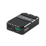
CUAV C-RTK 9Ps Positioning Module - Rover Unit

₹31,099.00 (Inclusive of all taxes)
Out of Stock

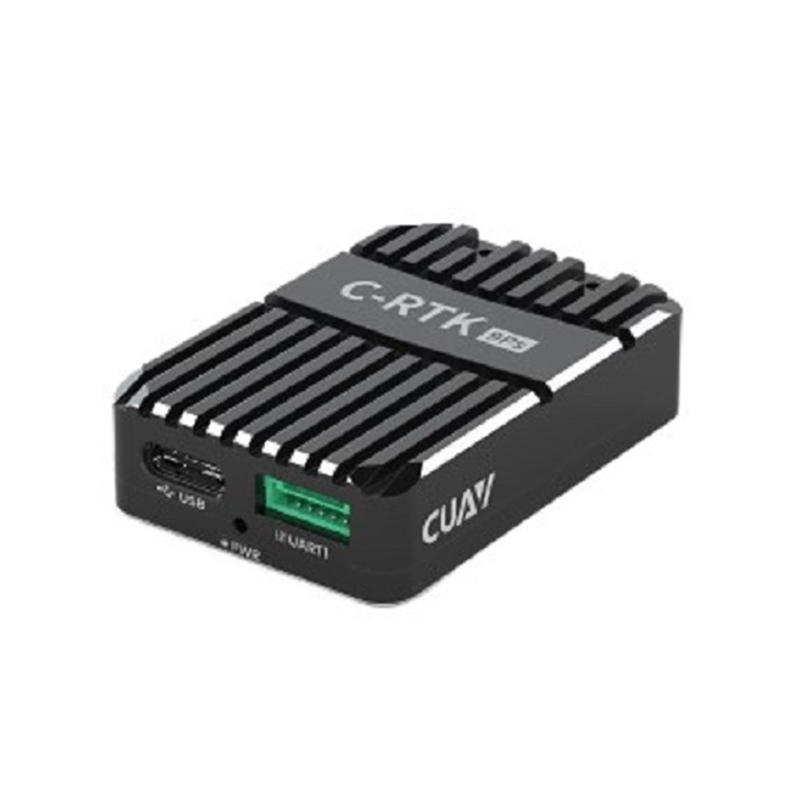
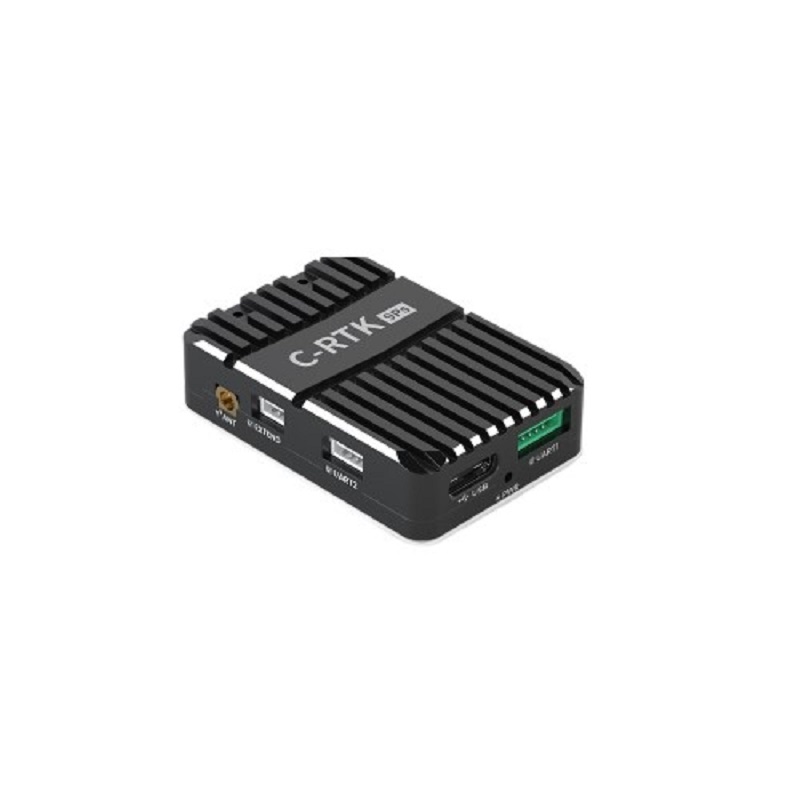
The CUAV C-RTK 9Ps is a high-precision, multi-frequency GNSS RTK positioning module designed for integration with PX4 and ArduPilot flight controllers. It provides centimeter-level positioning accuracy and supports dual-GPS for yaw heading, making it suitable for UAVs operating in magnetically complex environments.

Features

  • Multi-star, multi-frequency GNSS receiver (GPS, BeiDou, GLONASS, Galileo) for robust global positioning.
  • Delivers centimeter-level RTK positioning accuracy (0.01m + 1ppm CEP) for high-precision navigation.
  • Dual-GPS heading capability (0.4° accuracy) eliminates reliance on a magnetic compass.
  • Features advanced anti-jamming and anti-spoofing algorithms for reliable signal integrity.
  • Compatible with Pixhawk-series flight controllers via included cabling for UART and USB interfaces.

Out of stock

Description

The C-RTK 9Ps module utilizes the u-blox ZED-F9P receiver platform, offering 184 channels and concurrent tracking of four GNSS constellations. Its dual-end switchover design allows one module to function as a rover on the aircraft while another serves as a ground base station, enabling real-time kinematic (RTK) corrections. This architecture provides a high-value solution for achieving survey-grade positioning without the premium cost of more complex systems.

Engineered for demanding UAV applications, the module operates across an extended temperature range from -40°C to +85°C. It outputs navigation data at high update rates (20Hz RTK, 25Hz PVT) via dual UARTs and a USB port, supporting NMEA, UBX binary, and RTCM 3.x protocols. The integrated IST8310 compass provides a backup magnetic heading source, while the system’s primary yaw solution is derived from the dual-antenna GPS configuration for superior reliability near power lines or metallic structures.

Key Features

  • High-Precision RTK Engine: Leverages the u-blox ZED-F9P for fast convergence (<60s) and centimeter-level positioning accuracy in RTK mode.
  • Dual-Antenna Heading: Supports GPS-based yaw calculation with 0.4-degree accuracy, providing a stable heading reference in magnetically disturbed areas.
  • Robust Signal Integrity: Incorporates active continuous wave detection, bandpass filtering, and advanced anti-spoofing algorithms to maintain GNSS lock in challenging RF environments.
  • Wide Operational Envelope: Functions from 4.5V to 6V and across an industrial temperature range (-40°C to +85°C) for reliable field operation.
  • Comprehensive Connectivity: Offers two UART ports and one USB port for flexible integration with flight controllers and ground station software.
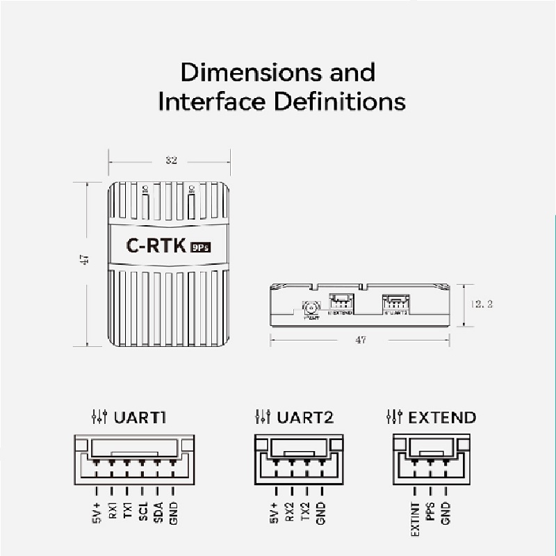
  • Optimized Form Factor: Compact 47x32x12.2mm board design with an MMCX antenna connector for easy installation in tight airframes.

Applications

  • Aerial Surveying & Mapping: Provides the centimeter-level geotagging accuracy required for photogrammetry and LiDAR payloads on mapping drones.
  • Precision Agriculture: Enables accurate automated flight paths for crop spraying, seeding, and health monitoring UAVs.
  • Infrastructure Inspection: Facilitates stable, precise positioning and heading for drones inspecting power lines, pipelines, and cell towers where magnetic interference is high.
  • High-Precision Takeoff/Landing: Allows for automated, repeatable landing on moving platforms like ships or predefined pads.
  • Research & Development Platforms: Serves as a high-fidelity navigation source for UAVs involved in autonomy, swarm, or sensor fusion research.

Technical Specifications

Item TypeGPS RTK Module
Operating Voltage4.5V to 6V
Receiver Type184 channel u-blox ZED-F9P
CompassIST8310
Supported GNSSGPS, BeiDou, GLONASS, Galileo, QZSS
Concurrent GNSS4
Navigation Update RateRTK: 20Hz, RAW/PVT: 25Hz
Acquisition SensitivityCold start: -148 dBm, Hot start: -157 dBm, Reacquisition: -160 dBm
Acquisition TimeCold start: <24s, Hot start: <1s
Position Accuracy (CEP)RTK: 0.01m + 1ppm, GPS: 1.5m, SBAS: 1.0m
Heading Accuracy0.4 degrees (with dual modules)
Antenna GainRover: 2dBi, Base: 5dBi
Communication ProtocolNMEA, UBX binary, RTCM 3.x
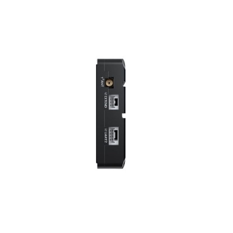
InterfacesUART x2, USB x1
Antenna ConnectorMMCX
Operating Temperature-40°C to +85°C
Dimensions47 x 32 x 12.2 mm
Weight30 g

Frequently Asked Questions

What is the difference between the C-RTK 9Ps and the C-RTK 9P?

The C-RTK 9Ps utilizes a dual-end switchover design, allowing one module to function as a rover and another as a base station. This architecture achieves similar high-precision RTK performance as the 9P but at a reduced system cost, making it a more cost-effective solution for applications requiring centimeter-level accuracy.

How does the dual-GPS feature work, and when should I use it?

The dual-GPS feature requires two C-RTK 9Ps modules. By comparing the phase of the GNSS signals received by two spatially separated antennas, the system can calculate a precise heading (yaw) angle. This is essential for flight in environments with strong magnetic interference, such as near power lines or large metal structures, where a traditional compass is unreliable.

What flight controllers is the C-RTK 9Ps compatible with?

The module is designed for seamless integration with open-source flight controllers running PX4 or ArduPilot firmware, including the CUAV V5+, V6, X7, and Pixhawk-series autopilots. The package includes specific cabling for connecting to UART1 (for primary GPS data) and UART2/UART4 (for dual-GPS yaw or secondary communication).

What is the typical time to achieve a fixed RTK solution?

The system is designed for fast convergence, typically achieving a fixed RTK solution in less than 60 seconds under good skyview conditions. This rapid survey-in time is beneficial for field operations where quick deployment is necessary.

Package Includes

  • 1 x CUAV C-RTK 9Ps Module
  • 1 x Multi-Star Multi-Frequency Spiral Antenna
  • 1 x Carbon Fiber Antenna Stand (30mm with Bracket)
  • 1 x Pixhack Cable (250mm)
  • 1 x V5+/x7 Series (UART1-> GPS) Cable (250mm)
  • 1 x V5+/x7 Series (UART1-> UART4) Cable (250mm)
  • 1 x PX4 GPS YAW (UART2-> UART2) Cable (250mm)

Additional Information

Weight 0.03 kg
Dimensions 3.2 × 4.7 × 1.22 cm