SKU: DRFC-0799
📋 GST Invoice Available

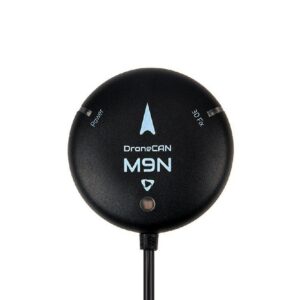
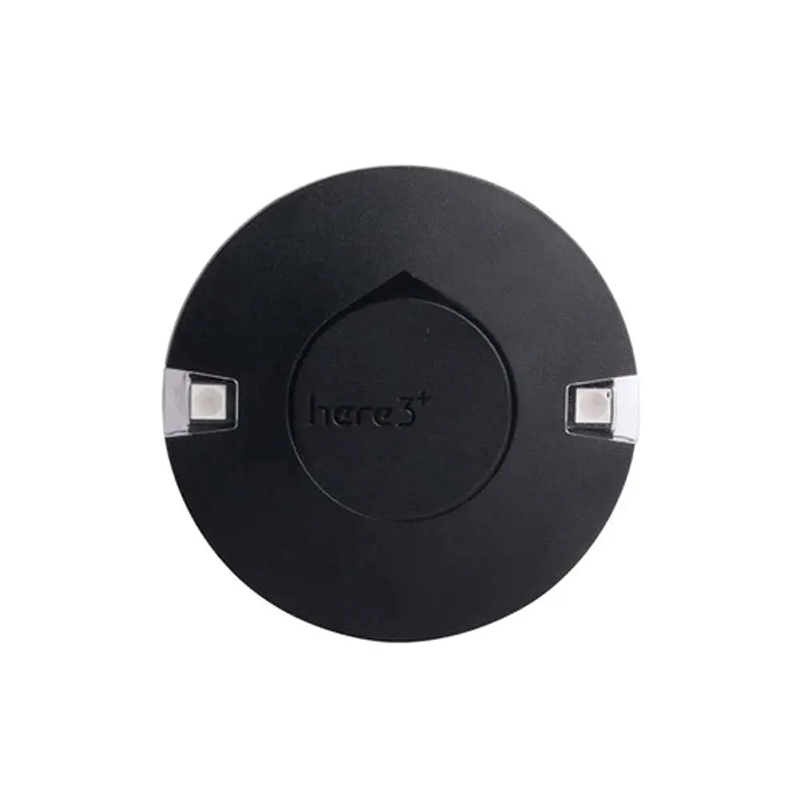
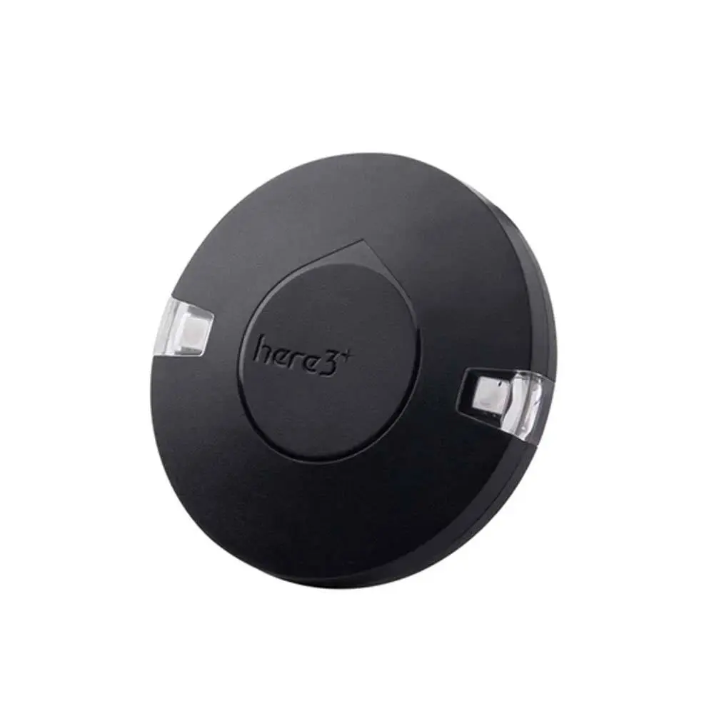
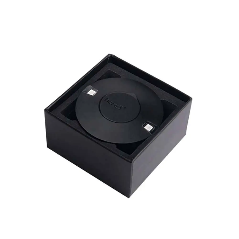
CubePilot HERE3+ GNSS M8P RTK GPS Module

₹81,339.00 (Inclusive of all taxes)
Out of Stock

The CubePilot HERE3+ GNSS M8P RTK GPS Module provides centimeter-level positioning accuracy through its u-blox M8P chipset, supporting multi-constellation GNSS for robust navigation. This advanced module is ideal for autonomous UAVs and applications requiring precise real-time location data.

Features

  • Centimeter-level RTK positioning accuracy with u-blox M8P.
  • Multi-constellation support (GPS, GLONASS, Galileo, BeiDou) for robust signal.
  • High sensitivity and low power consumption for reliable long-term operation.
  • Integrated STM32H757 processor and ICM42688 IMU for advanced performance.
  • Compact 68x68x16mm dimensions with DroneCAN protocol for versatile UAV integration.

Out of stock

Description

The CubePilot HERE3+ GNSS M8P RTK GPS Module represents a sophisticated solution for precision navigation in UAV platforms and other autonomous systems. Utilizing the renowned u-blox M8P chipset, this module achieves Real-Time Kinematic (RTK) capabilities, delivering positional accuracy down to the centimeter level in real-time environments. This precision is critical for applications demanding exact location awareness, such as high-accuracy mapping, precision agriculture, and detailed inspection missions.

Beyond its RTK prowess, the HERE3+ ensures reliable satellite lock and robust performance by supporting a comprehensive array of global navigation satellite systems including GPS L1C/A, GLONASS L1OF, and BeiDou B1I. This multi-constellation support significantly enhances signal availability and integrity, particularly in challenging operational scenarios where line-of-sight to satellites may be obstructed. Its integration with a powerful STM32H757 processor and an ICM42688 IMU sensor further refines navigation data, providing stable and consistent positioning feedback essential for advanced flight control systems.

Key Features

  • Real-Time Kinematic (RTK) capability for centimeter-level accuracy.
  • Multi-Constellation support (GPS, GLONASS, Galileo, BeiDou) for enhanced reliability.
  • High sensitivity u-blox M8P chipset ensures quick and stable satellite acquisition.
  • Compact and lightweight design simplifies integration into various drone frames.
  • Optimized for low power consumption, extending flight times for UAVs.
  • Robust performance even in challenging GNSS environments like urban canyons.
  • Versatile DroneCAN communication protocol for broad compatibility with flight controllers.
  • Integrated STM32H757 processor and ICM42688 IMU for advanced sensor fusion.

Applications

  • High-precision aerial mapping and surveying.
  • Autonomous UAV navigation for logistics and delivery.
  • Precision agriculture drone operations.
  • Industrial inspection and infrastructure monitoring.
  • Geodetic research and data collection.

Technical Specifications

Item TypeGPS Module
Satellite Systems SupportedGPS L1C/A, GLONASS L1OF, BeiDou B1I
Positioning Accuracy (3D FIX)2.5 m
Positioning Accuracy (RTK)0.025 m
ProcessorSTM32H757
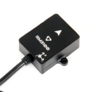
IMU SensorICM42688, RM3100
Navigation Update Rate8 Hz
Communication ProtocolDroneCAN 8Mbit/s
Operating Temperature-40°C to 85°C
Dimensions (L x W x H)68mm x 68mm x 16mm

Frequently Asked Questions

What accuracy does the CubePilot HERE3+ provide?

The CubePilot HERE3+ GNSS M8P RTK GPS Module delivers centimeter-level positioning accuracy, specifically 0.025 meters in RTK mode. This high precision is achieved through its u-blox M8P chipset and multi-constellation support, making it suitable for applications like aerial mapping and autonomous drone navigation where exact location data is paramount.

Which satellite systems are supported by the HERE3+ module?

The HERE3+ module supports a wide range of global navigation satellite systems to ensure robust coverage. These include GPS L1C/A, GLONASS L1OF, and BeiDou B1I. This multi-constellation capability significantly improves signal reception and positioning reliability, especially in challenging environments with limited sky visibility.

What communication protocol does the HERE3+ use for integration with flight controllers?

The CubePilot HERE3+ utilizes the DroneCAN protocol for communication, operating at an 8Mbit/s data rate. DroneCAN is a robust, fault-tolerant protocol widely adopted in the professional UAV industry, offering reliable data exchange and easy integration with compatible flight controllers such as Pixhawk and other ArduPilot/PX4-based systems.

Can the HERE3+ be used for autonomous mapping missions?

Absolutely. The HERE3+'s centimeter-level RTK accuracy is specifically designed for demanding applications like autonomous mapping and surveying. Its precise positioning data enables drones to capture highly accurate geospatial information, essential for creating detailed maps, 3D models, and for precision agriculture tasks.

Package Includes

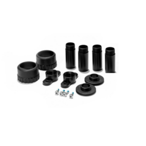
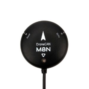
  • 1 x CubePilot HERE3+ GNSS(M8P) RTK GPS MODULE
  • 1 x iStand
  • 1 x Allen key
  • 5 x Nuts
  • 5 x Bolts

Additional Information

Dimensions 6.8 × 6.8 × 1.6 cm