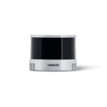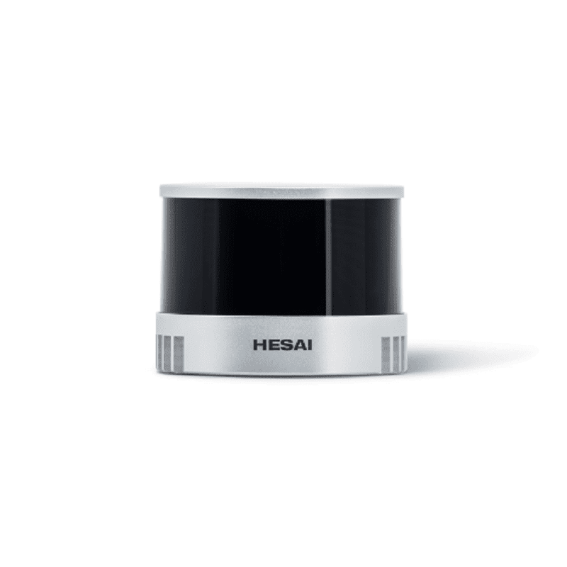
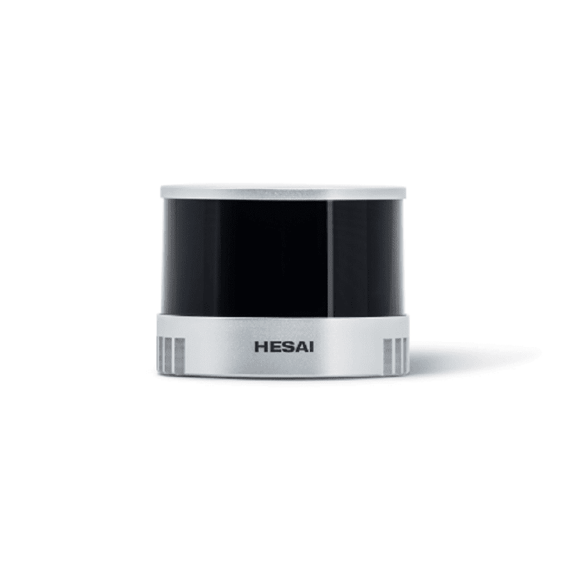
Hesai Technology XT16 High-Precision 360° Mid-Range Lidar
The Hesai Technology XT16 is a high-precision 360° scanning LiDAR sensor designed for mid-range 3D perception and mapping. It delivers dense point cloud data for integration into autonomous navigation systems, robotics platforms, and industrial automation solutions requiring accurate environmental modeling.
Features
- High-resolution 360° scanning with 320,000 points per second
- Extended mid-range detection from 0.05 meters up to 120 meters
- High measurement accuracy of ±1 cm for precise 3D mapping
- Wide vertical field of view of 30° for comprehensive environmental perception
- Compact and lightweight design (800g) for easy system integration
Out of stock
The Hesai Technology XT16 Mid-Range LiDAR utilizes time-of-flight (ToF) laser ranging technology to generate a real-time, high-density 3D point cloud of its surroundings. Its 360° horizontal rotation combined with a 30° vertical field of view provides comprehensive environmental awareness, critical for obstacle detection, SLAM (Simultaneous Localization and Mapping), and navigation.
Engineered for reliability in dynamic environments, the sensor offers a robust measurement range with high accuracy and precision. Its compact form factor and lightweight construction make it suitable for mobile robotics, autonomous guided vehicles (AGVs), and perimeter security systems where detailed spatial data is required.
Additional Information
| Weight | 0.6 kg |
|---|---|
| Dimensions | 15 × 15 × 18 cm |